Current Research Projects
Presentations
Platforms Used
Current Research:
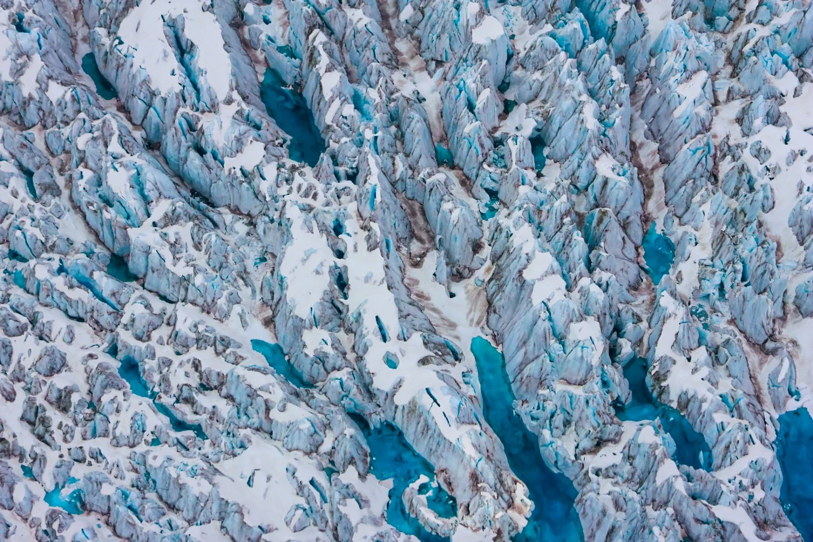
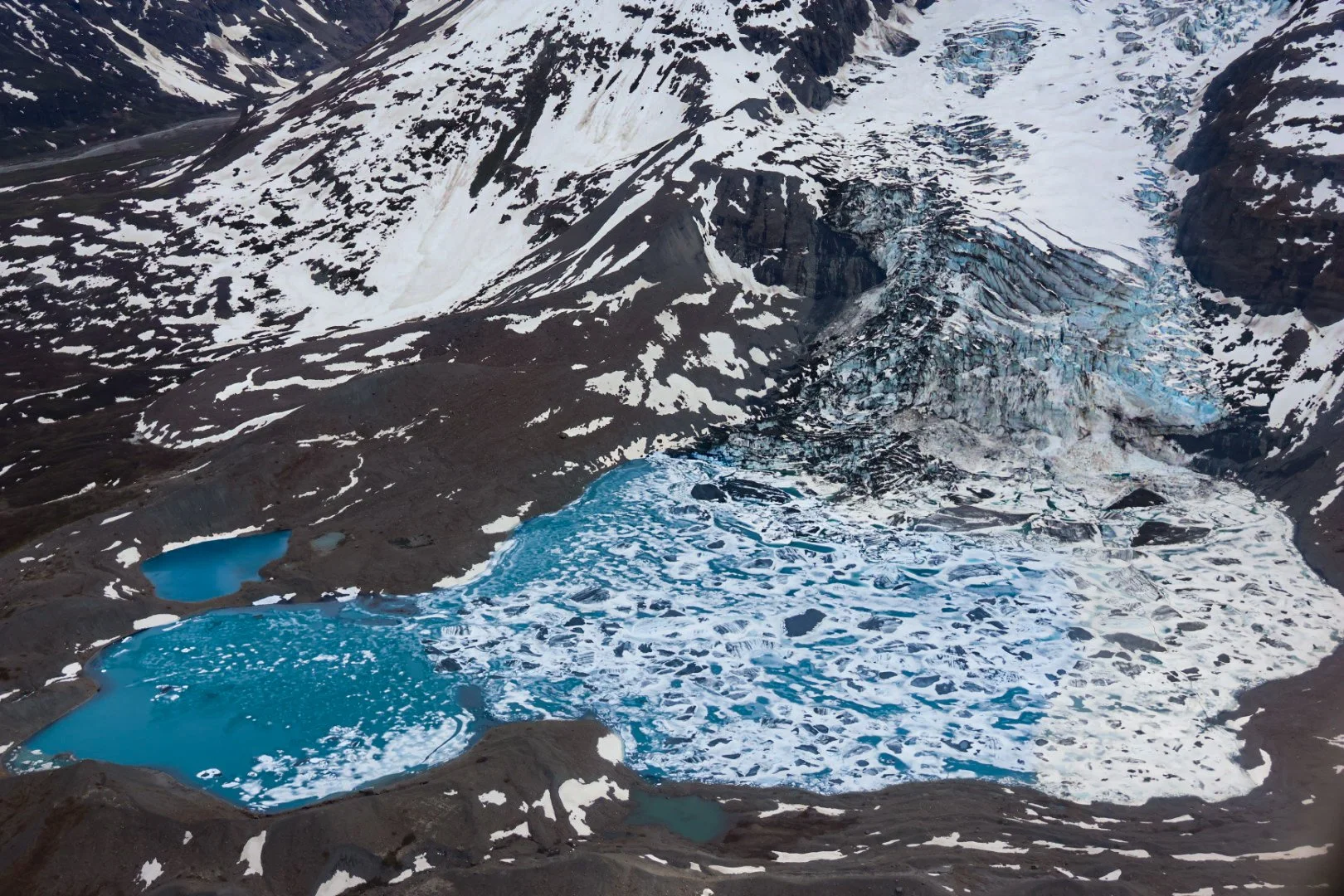
Thousands of lakes line the edge of the Greenland Ice Sheet, and many are held back by the ice itself. When that ice dam fails, a lake can drain in hours to days in a glacial lake outburst flood (GLOF), sending a sudden pulse of water, sediment, and nutrients into the rivers and fjords below. My doctoral research uses machine learning to track these floods from space. I developed a model that maps lake water in multispectral satellite imagery, and I'm now extending it across multiple satellites to build an ice-sheet-wide record of lake change and outburst floods. Few of these lakes have ever been measured on the ground, so this record shows how often these floods happen, and how they may change as the climate continues to warm.
The same tools work well beyond Greenland. I'm open to collaborating on glacial lake and flood monitoring in other mountain and polar regions, satellite mapping of surface water and landscape change, and fieldwork in glaciated terrain. If your project could use any of these, I'd love to hear from you. Contact me here!
Presentations
Carr, E. (2026). "Advancing Methods to Monitor Greenland Ice-Marginal Lake Area Fluctuations and Outburst Floods Using Machine Learning and Multispectral Optical Imagery." Invited talk, Computational Research in Ice and Ocean Systems (CRIOS) Group, Jackson School of Geosciences, The University of Texas at Austin, Austin, TX.
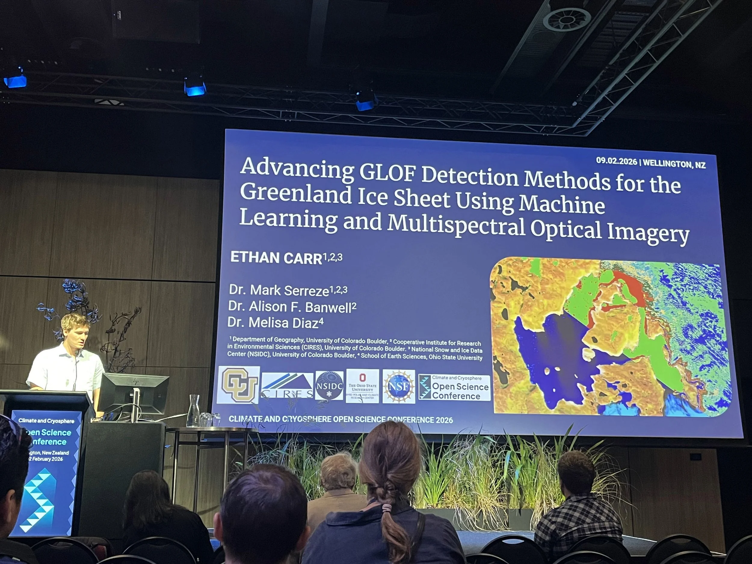
Carr, E.P., Banwell, A., Diaz, M., Serreze, M. 2026: Advancing GLOF Detection Methods for the Greenland Ice Sheet Using Machine Learning and Multispectral Optical Imagery. Climate and Cryosphere Open Science Conference, Wellington, New Zealand.
Carr, E.P., Banwell, A., Diaz, M., Serreze, M. 2025: Advancing GLOF Detection Methods for the Greenland Ice Sheet Using Machine Learning and Multispectral Optical Imagery. American Geophysical Union (AGU) Fall Meeting 2025, New Orleans, Louisiana.
Carr, E.P., Serreze, M., Banwell, A. 2025: New Methods for Glacial Lake Outburst Flood Detection Using Multispectral Optical Remote Sensing Data. CIRES Rendezvous 2025, Boulder, Colorado.
Carr, E.P., Serreze, M., Banwell, A. 2025: New Methods for Glacial Lake Outburst Flood Detection Using Multispectral Optical Remote Sensing Data. Colorado Glaciology (COG) Workshop 2025, Golden, Colorado.
Carr, E.P., Banwell, A., Diaz, M., Serreze, M. 2024: Glacial Lake Outburst Flood Tracking and Analysis in the Paraglacial Region of Southwest Greenland. American Geophysical Union (AGU) Fall Meeting 2024, Washington, District of Columbia.
Carr, E.P., Trogdon, T., Hardin, N.R., Howlett, R., Vickery, J. 2024: Quantifying the Benefit of Using Hazard Services to Communicate Hazardous Environmental Information. American Meteorological Society (AMS) Annual Conference 2024, Baltimore, Maryland.
Carr, E.P., Trogdon, T., Hardin, N.R., Howlett, R., Vickery, J. 2023: Quantifying the Benefit of Using Hazard Services to Communicate Hazardous Environmental Information. American Geophysical Union (AGU) Fall Meeting 2023, San Francisco, California.
Carr, E.P. 2023: Greenland Ice-Marginal Lakes: Quantifying the Impact of Glacial Lake Outburst Floods on the Greenland Ice Sheet. American Geophysical Union (AGU) Fall Meeting 2023, San Francisco, California.
Carr, E.P., Trogdon, T., Hardin, N.R. 2023: Quantifying the Benefits of Using Hazard Services to Communicate Hazardous Weather Information. American Meteorological Society (AMS) Annual Conference 2023, Denver, Colorado.
Platforms/Systems Used:
Remote sensing: Google Earth Engine; Landsat and Sentinel-2 multispectral imagery; Sentinel-1 synthetic aperture radar (SAR)
Machine learning: unsupervised clustering, random forest classification, surface water mapping and change detection
Programming: Python, Jupyter, CryoCloud
Fieldwork and Expedition Skills: advanced mountaineering, glacier travel, crevasse rescue, splitboard ski mountaineering, rope systems (rappelling, belaying, rock and snow anchors), packrafting, Wilderness First Aid